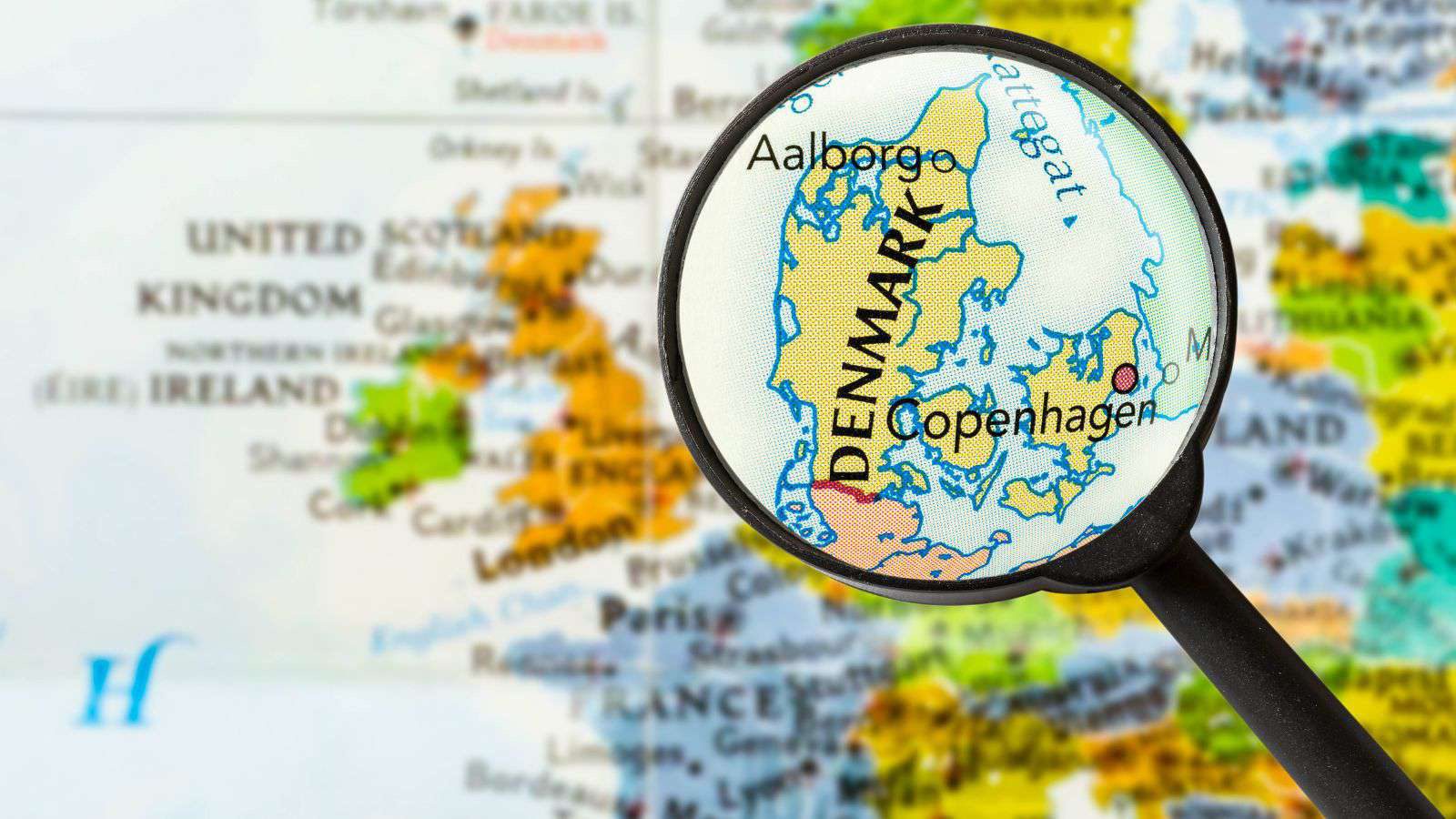
Get your bearings before you go. Denmark sits where continental Europe meets Scandinavia: a peninsula and an archipelago between the North Sea and the Baltic.
The lie of the land
Denmark has three broad parts that matter for trip planning:
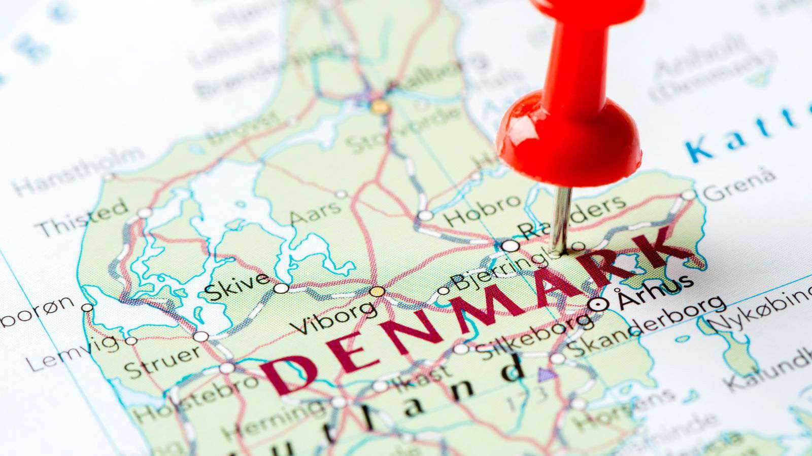
- Jutland (Jylland): the large peninsula attached to Germany. Home to Aarhus (the second city), Aalborg, Esbjerg, Billund (LEGOLAND), and the painterly tip of Skagen.
- Funen (Fyn): the central island, with the city of Odense, birthplace of Hans Christian Andersen.
- Zealand (Sjælland): the eastern island, home to the capital Copenhagen, Roskilde, and (nearby) Helsingør with Kronborg Castle. The Øresund Bridge links Zealand to Sweden.
Beyond these are smaller islands worth knowing, such as Møn (the white cliffs) and Bornholm (the Baltic "sunshine island"), plus the self-governing Faroe Islands and Greenland, which are part of the Kingdom but far to the north and west.
Interactive map
Once you know the geography, see Places of Interest for what to visit, and Getting There & Around for how to move between regions.
Geographic descriptions are general knowledge. For navigation, use a live mapping service.